As the Cheshire Cat told Alice in Alice in Wonderland, if you don’t know where you’re going, any road will get you there. Few things are as important as the roads we choose to travel. Without effective transportation, communities don’t just slow down, they struggle to function.
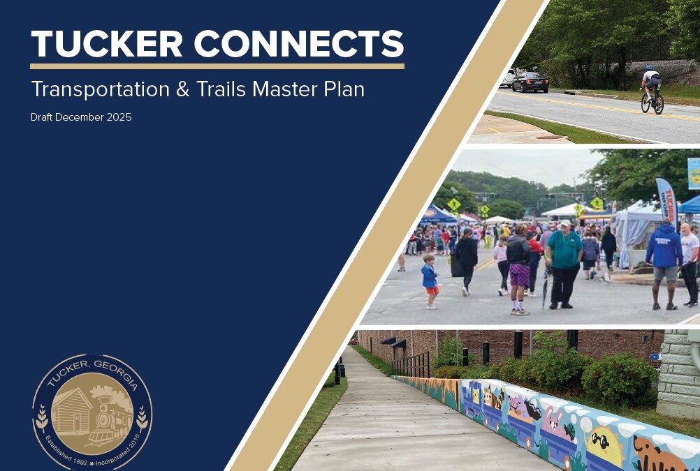
With that in mind, the City of Tucker has released a draft update to its Transportation Master Plan, along with a comprehensive update to the city’s trail network plan. Like all major city plans, the draft is being shared publicly so residents, businesses, and stakeholders can provide feedback before it moves toward adoption.
But this update is more than a routine planning exercise. It reflects a shift in how Tucker thinks about transportation itself.
From Moving Traffic to Connecting Places
Historically, many of Tucker’s roads were designed to move regional traffic through the city efficiently. The new plan recognizes that the community has evolved. Today, Tucker is not just a place people pass through. It is a place people live, work, and gather.
The plan focuses on five core outcomes:
- Improving safety for all users
- Improving access to destinations
- Expanding walking and biking options
- Reducing congestion at key intersections
- Investing limited funds where they provide the most benefit
Instead of treating transportation as only a roadway capacity issue, the city is approaching it as a network that connects neighborhoods to parks, downtown, schools, and employment centers.
What the Data Revealed (What many already knew)
The planning process included a detailed study of how people actually travel in Tucker today. Several findings stood out.
A large share of traffic on Tucker roads neither starts nor ends in the city, meaning the community experiences regional congestion impacts. At the same time, thousands of workers commute into Tucker from nearby areas, many from distances short enough to potentially walk or bike if safe routes existed.
Safety also emerged as a major concern. A small portion of the roadway network accounts for a large majority of serious crashes. That means targeted improvements can produce meaningful results without rebuilding entire corridors. Taken together, the data suggests congestion cannot be solved simply by widening roads. The more effective strategy is to reduce the number of short car trips and improve how intersections function.
Why Trails Play a Central Role
Public input consistently showed that residents want safer ways to reach destinations without driving. Downtown Tucker, parks, and schools were repeatedly identified as places people want to access by foot or bike. The updated trail plan focuses on practical connections rather than isolated recreation paths. Instead of building trails only where space is convenient, the network is designed to link:
- neighborhoods to downtown
- neighborhoods to parks
- local streets to regional trail systems
- homes to schools and community facilities
The plan also prioritizes shared-use paths over painted bike lanes where possible, since residents indicated they feel more comfortable using physically separated routes. In short, the trail network is being treated as transportation infrastructure, not just recreation.
Why Public Feedback Matters
City plans guide investment decisions for years. They affect where sidewalks go, how traffic moves, where trails connect, and how development occurs. Because of that, the City is asking residents to review the draft and share input before adoption. The goal is not only to create a technically sound plan, but one that reflects how the community actually wants to move around Tucker in the future.
Transportation planning ultimately helps answers a simple question: What kind of city are we trying to build?
This plan suggests Tucker is aiming to be a place where daily needs are closer together, streets are safer, and mobility includes more than just driving. To learn more, visit the Tucker Connects: Transportation and Trails Master Plan website.