Every parent and child who has seen Dora the Explorer knows that if there’s a place you want to go you need a map to find your way. Rather than using a map to climb through the jungle with Boots, and trying to avoid Swiper, solving real world challenges with maps requires a geographic information system (GIS). A system that can create, manage, map, and analyze data.
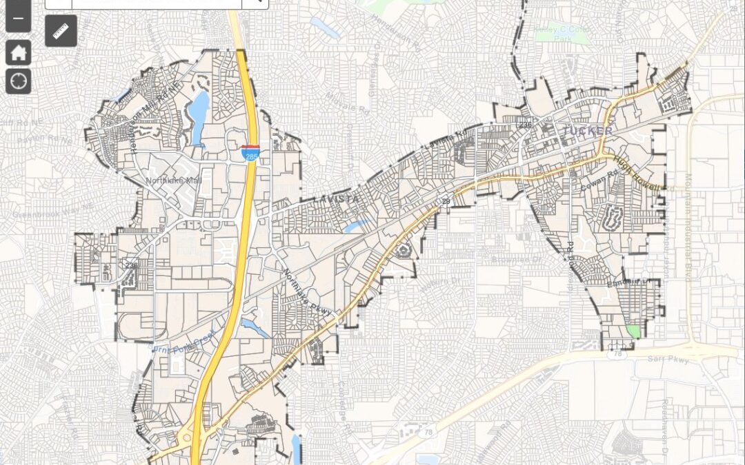
To that end the Tucker-Northlake CID has launched a GIS Hub with dozens of map layers specific to the foot print of the CID. Thanks to open-source policies the CID Hub pulls data from MARTA, DeKalb County, the City of Tucker, and others to provide the most accurate information available.
InterDev helped with the creation of the hub and is providing ongoing support to the CID. InterDev began working with the Tucker-Northlake CID through the City of Tucker several years ago and the CID has grown to the point were there is a need for more specific data analysis not directly related to the city.
Local governments across the state have provided public access to GIS resources through Ersi and other providers for years. The Tucker-Northlake CID is the first CID in the state to launch a full hub and make its data publicly available online with an open-source policy.
The CID’s GIS hub will grow over time as new data is added and existing data sets are refined. Its open-source policy enables individuals and other organizations to download data created by the CID for their own use.